
Sivok–Rangpo BG Rail
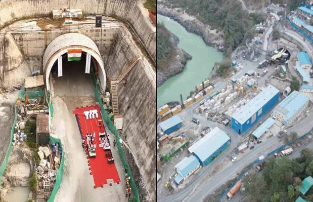
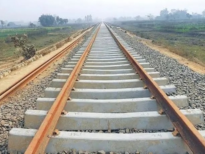
Design of T7–8 and T11–14 tunnel projects within a 128 km greenfield broad-gauge railway project comprising multiple tunnels and bridges / viaducts.
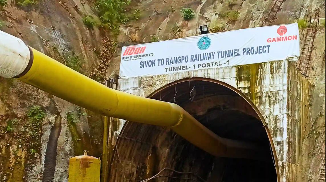
128 km
Greenfield BG rail project
IREC brings together multidisciplinary engineering, geospatial, environmental and infrastructure capabilities developed through technically demanding projects across transportation, water, environment and digital infrastructure.
Our work brings together engineering expertise, field experience, geospatial intelligence, environmental assessment and specialist technical capabilities.
This integrated approach allows individual disciplines to contribute to a wider project understanding — supporting planning, assessment, design and implementation.
IREC's multidisciplinary capability spans engineering, surveying, geospatial intelligence, ground investigation, water resources, environmental consultancy and digital solutions.
Engineering and design support for complex transportation and infrastructure requirements, combining technical analysis, planning and project-specific design inputs.
Our documented project experience includes railway alignments, tunnel design support, DPR preparation, tender documentation and major infrastructure planning.
Design of T7–8 and T11–14 tunnel projects within a 128 km greenfield broad-gauge railway project comprising multiple tunnels and bridges / viaducts.
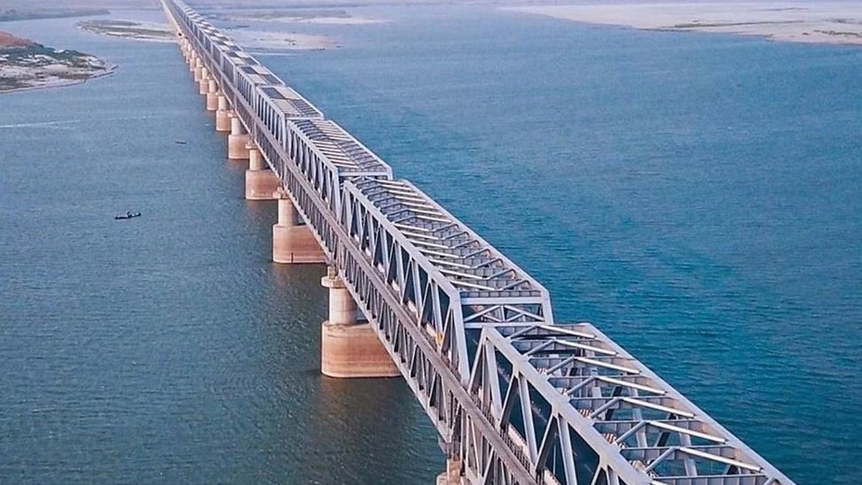
Tender document preparation for a 6 km-long railway bridge on PPP basis.
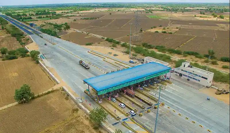
Six-lane widening of the 192 km Varanasi–Aurangabad corridor from four lanes to six lanes.
Geospatial services that connect field information, mapping and spatial analysis with infrastructure planning and environmental decision-making.
IREC's project experience includes GIS database creation, spatial analysis, remote sensing and mapping for railway, canal and infrastructure projects.
Creation of GIS layers for the proposed alignment to assess site selection and environmental impacts.
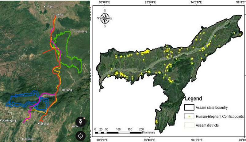
Military siding tunnel land assessment and mapping using GIS and remote sensing techniques.
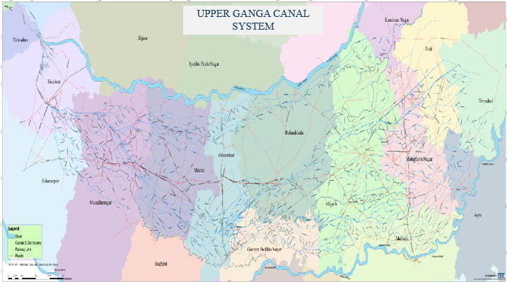
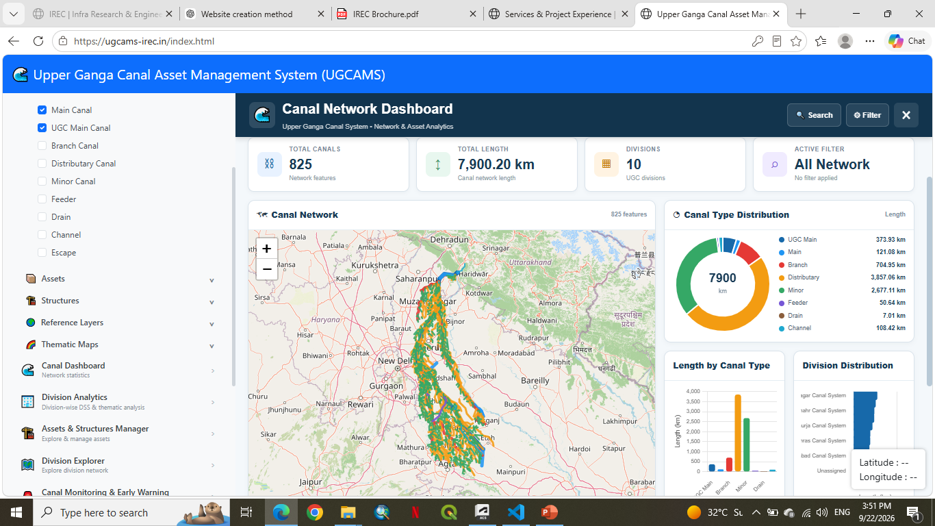
Detailed GIS map preparation and mapping of the Upper Ganga Canal for the Irrigation Department.
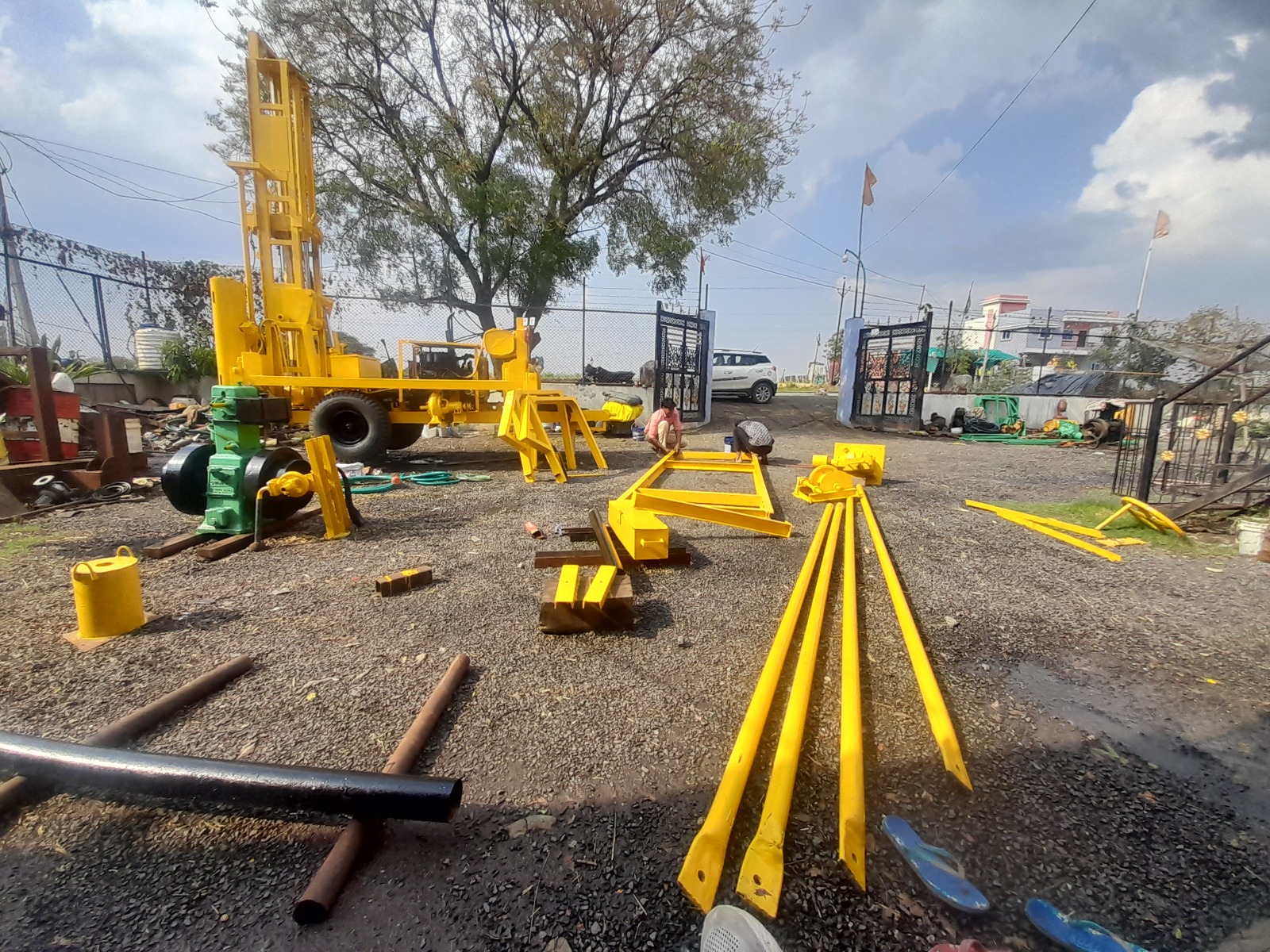
Ground investigation and specialist geotechnical support for infrastructure and industrial requirements.
IREC's documented project experience includes core drilling and field-based ground investigation activities.
NX-size core drilling carried out for FLS.
The project experience presented on this page reflects documented IREC assignments. Capability areas represent the wider range of services IREC is positioned to undertake.
Water-resource studies, canal-system assessment and digital infrastructure supporting the planning and management of water systems.
Our experience includes hydrological studies and large-scale canal network database development.
Digital database development covering canal network and drainage systems as part of the cGanga programme involving a consortium of seven IITs and NIH, Roorkee.
Hydrological studies associated with the Pasulok Barrage project.
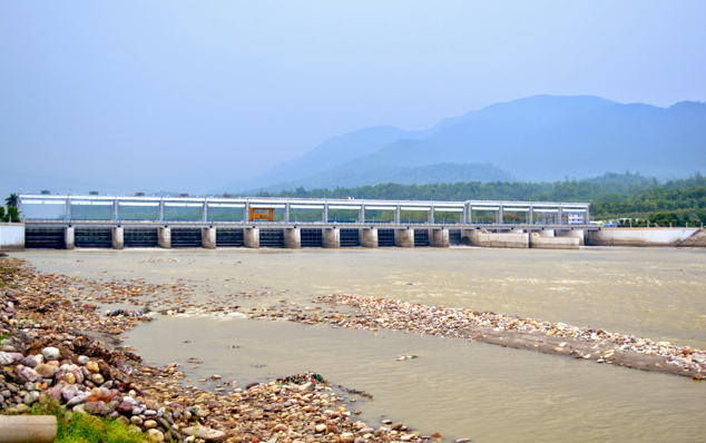
Geospatial and digital infrastructure supporting canal-system mapping, monitoring and information access.
Environmental assessment and regulatory support associated with major transportation, infrastructure and development projects.
IREC's documented experience includes EIA, forest clearance, environmental studies and coral studies across diverse project settings.
Alignment study, DPR and EIA in Punjab and Himachal Pradesh.
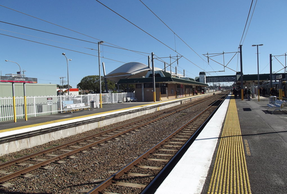
Forest clearance and EIA associated with the rail project.
DPR and EIA study for a 180 km new broad-gauge rail line.
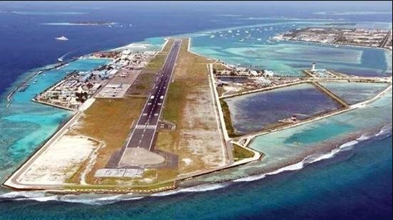
DPR, environmental and coral study, including traffic, EIA and coral study for the Airport Authority of India.
Geospatial platforms, spatial databases and digital decision-support systems that turn complex infrastructure data into accessible project intelligence.
IREC's work includes large-scale canal databases, geoportals, GIS mapping and remote-sensing applications for infrastructure and environmental assessment.
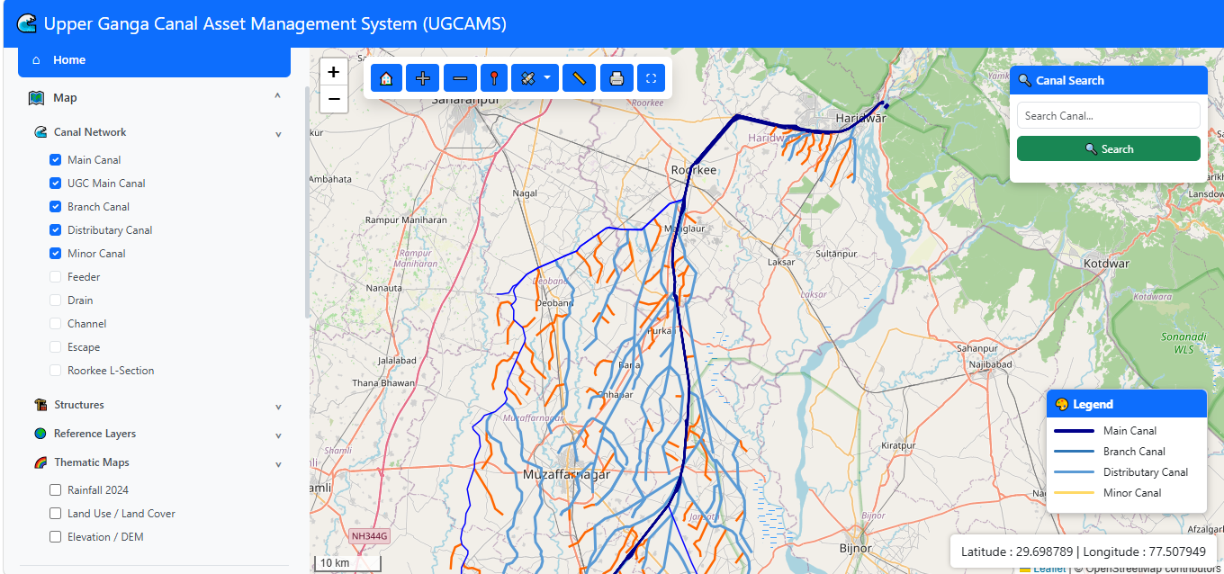
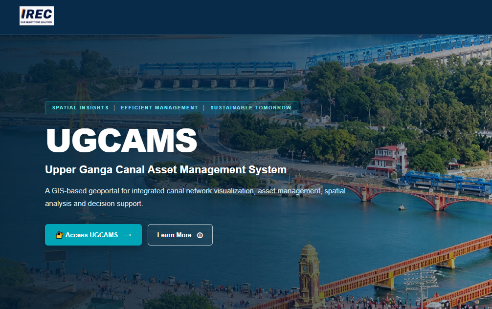
Comprehensive geoportal for the Upper Ganga Canal System supporting effective asset management, monitoring and information access.
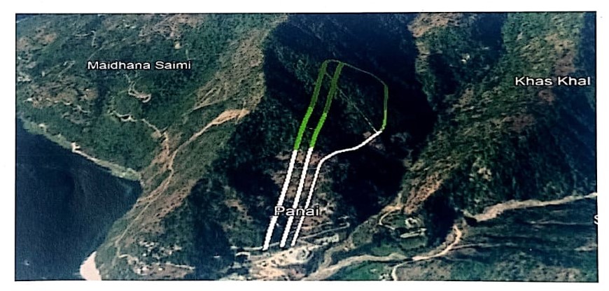
GIS-based alignment assessment and spatial analysis supporting railway planning and infrastructure development along the Lanka–Silchar corridor.
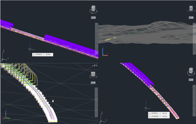
GIS-based spatial assessment and digital analysis supporting tunnel infrastructure planning, site evaluation and engineering decision-making.
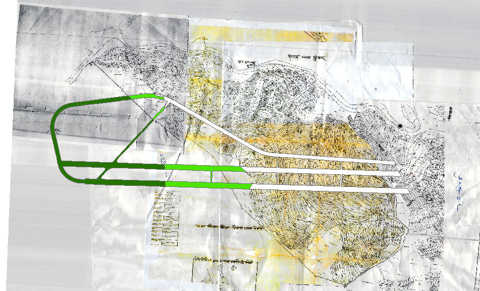
A selection of documented assignments demonstrating IREC's experience across transportation, water, environmental, geospatial and infrastructure projects.
Tunnel design assignments within a 128 km greenfield BG rail project.
128 kmDigital database development for canal network and drainage systems.
25,000 kmSix-lane widening from four lanes across the Varanasi–Aurangabad corridor.
192 kmDPR and EIA study for a new BG railway line.
180 kmTender document preparation for a railway bridge on PPP basis.
6 kmPreliminary design support for an urban tunnel in Uttarakhand.
1.2 kmIREC brings together multidisciplinary engineering, environmental and infrastructure expertise supported by field experience, technical capabilities and institutional associations.
Our demonstrated project experience reflects assignments undertaken by IREC, while the capabilities presented across this website represent the wider range of services we are positioned to undertake.
We aim to create value through technical excellence, responsive delivery and long-term professional partnerships.
Tell us about your project requirements, technical challenge or scope of work.