IREC DIGITAL INFRASTRUCTURE

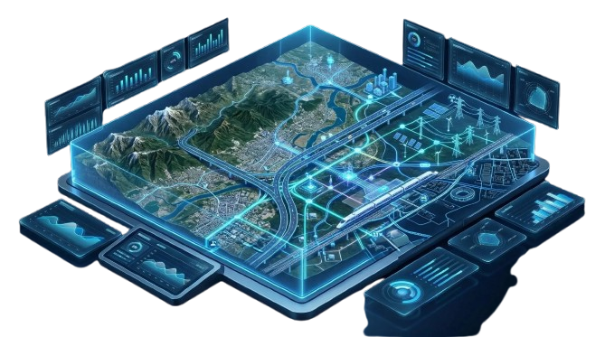
Spatial intelligence for connected infrastructure.

GIS-enabled platforms that bring infrastructure assets, spatial data and operational insights into one accessible digital environment.

Explore platforms

OUR DIGITAL PLATFORMS

From spatial data to actionable insights.

GIS-enabled platforms designed for infrastructure asset management, spatial analysis and data-driven decision support.

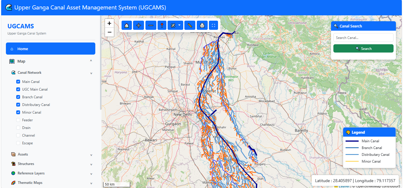
Upper Ganga Canal Asset Management System canal network map
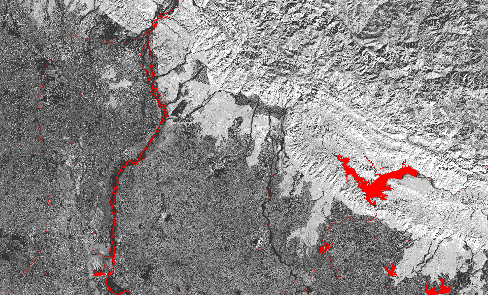
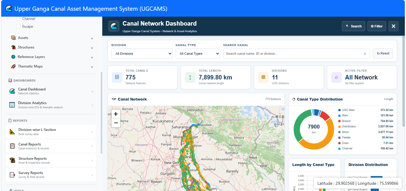
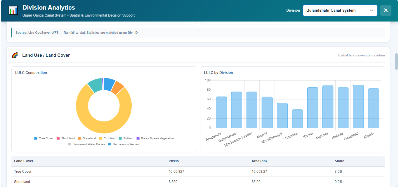
UGCAMS remote-sensing and thematic view UGCAMS canal network dashboard UGCAMS division analytics dashboard

01 · LIVE PLATFORM

Upper Ganga Canal Asset Management System (UGCAMS)

A GIS-based geoportal for integrated canal network visualization, asset management, spatial analysis and decision support.

  • Canal Network
    GIS
  • Asset Inventory
    & Management
  • Division-wise
    Analytics
  • Thematic Maps
    & Reporting
Access UGCAMS
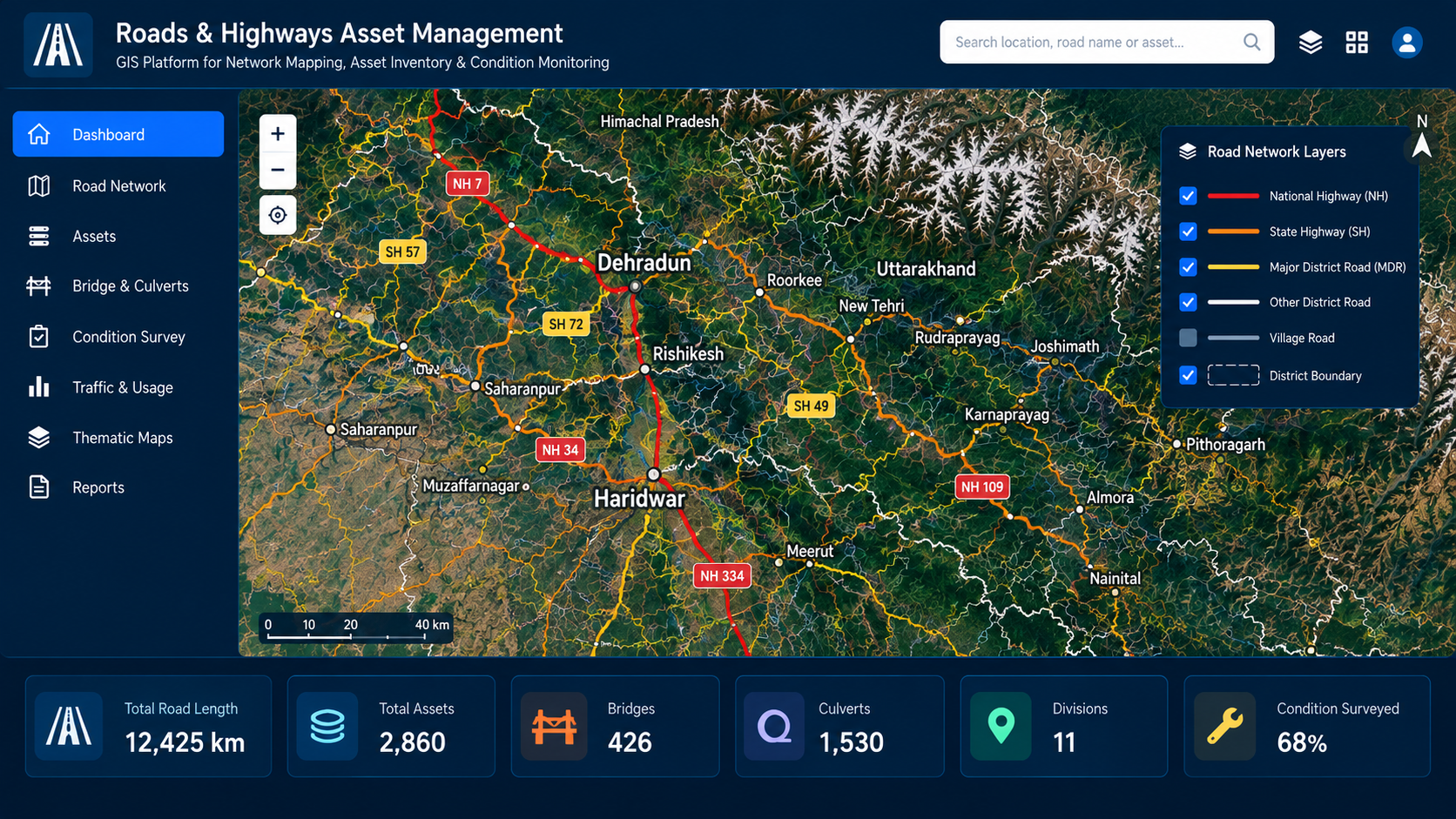
Conceptual road and highway network GIS map
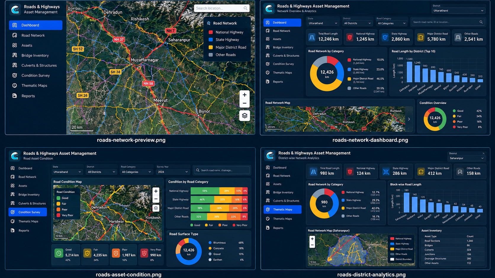
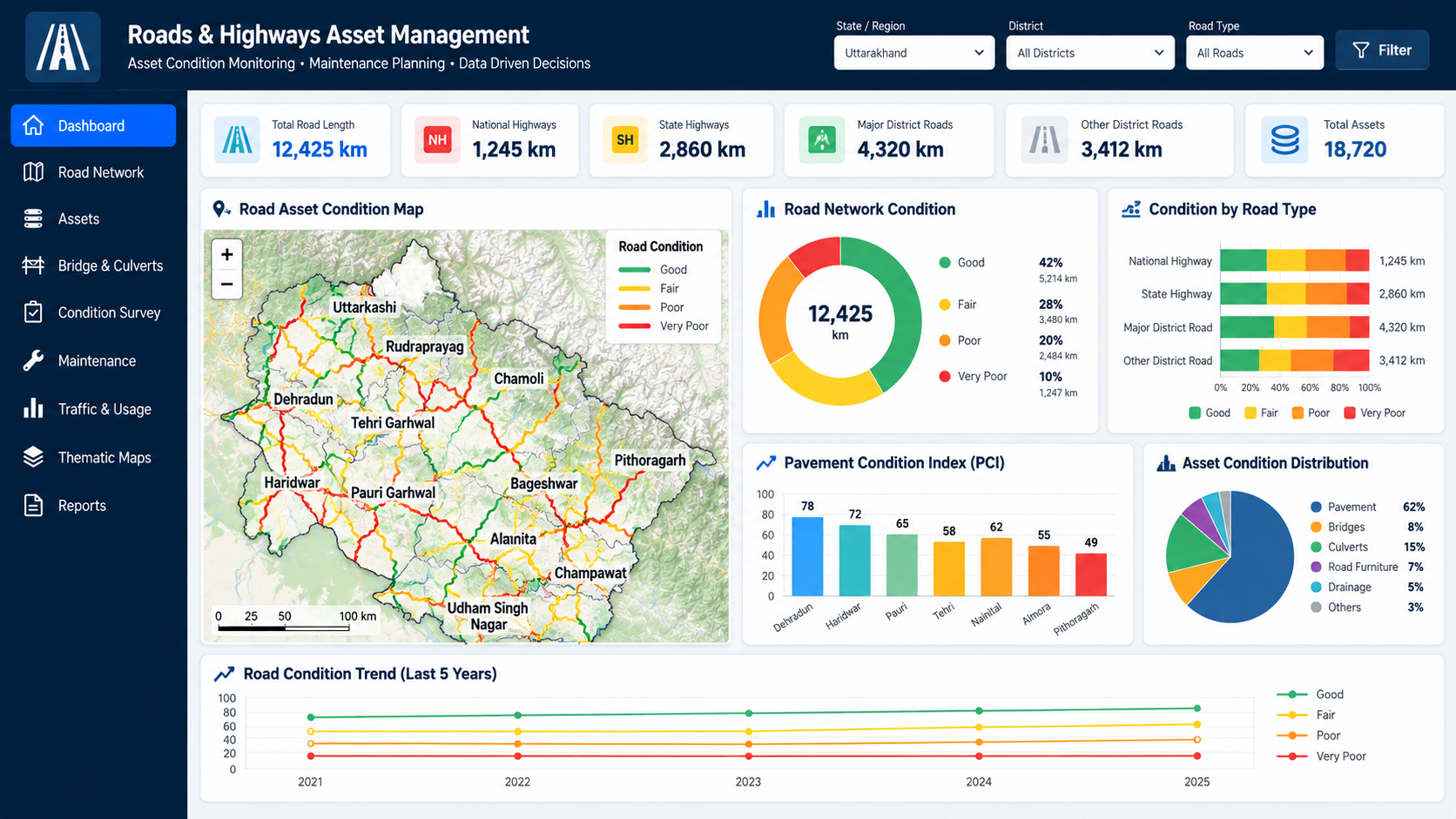
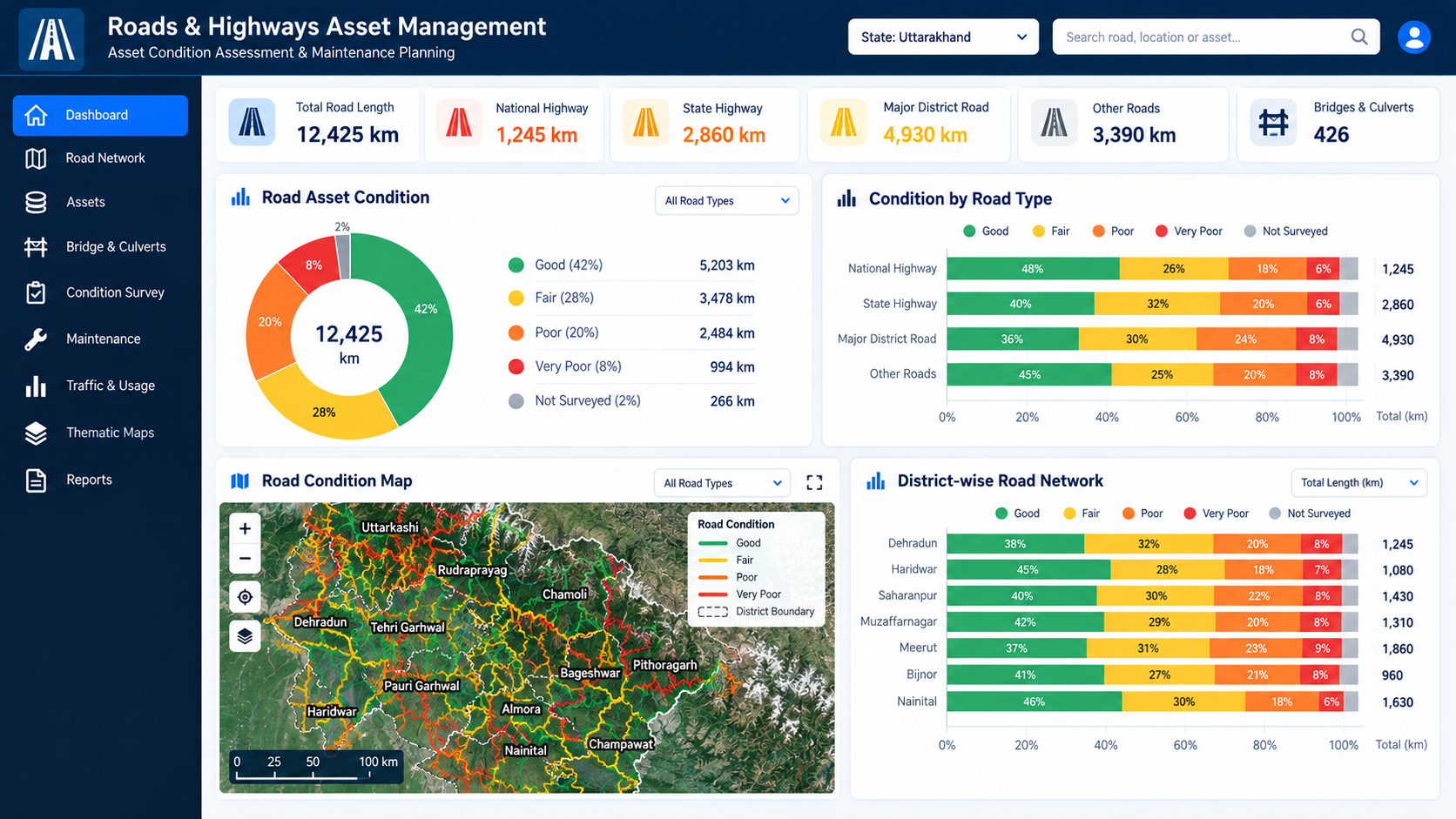
Conceptual road network overview dashboard Conceptual road asset condition dashboard Conceptual district-wise road network analytics

02 · IN DEVELOPMENT

Roads Operations & Digital Asset Management Platform (ROADMAP)

A planned GIS-enabled platform for road-network mapping, infrastructure asset inventories, condition monitoring and spatial reporting.

  • Road Network
    Mapping
  • Bridge & Culvert
    Inventory
  • Condition
    Monitoring
  • Spatial Reports
    & Analytics
Platform Overview